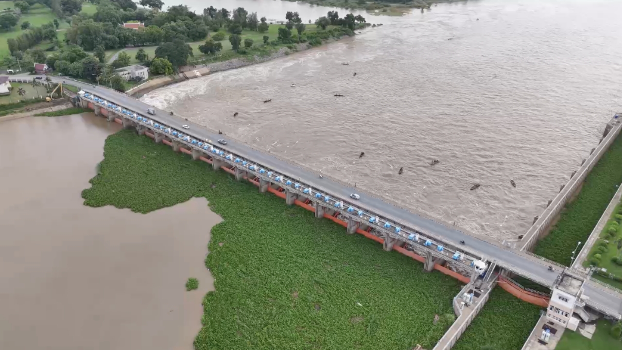
The Royal Irrigation Department has announced an increase in water discharge from the Chao Phraya Dam, warning residents along the Chao Phraya River, smaller rivers, and flood-prone areas to prepare for rising water levels.
As of September 25, the department’s Facebook page reported that water discharge has been adjusted to 1,333 cubic meters per second in response to upstream conditions.
- C2 Station, Nakhon Sawan: Water flow is 1,766 cubic meters per second, increasing by 78 cm from the previous day but still 3.5 m below bank levels.
- C13 Station, Chai Nat: Water flow is 1,333 cubic meters per second and is 4.12 m below bank levels.
Recent heavy rainfall in northern areas has led to increased water flow into the Chao Phraya River basin. The department will continuously adjust discharges based on upstream water levels and rainfall, which may affect riverside communities and low-lying flood-prone areas, including:
- Phong Pheng Canal, Ang Thong
- Bang Ban Canal, Phra Nakhon Si Ayutthaya
- Huai Wiang, Sena, Lat Chit, and Tha Din Daeng areas in Phak Hai, Phra Nakhon Si Ayutthaya (Mekong River)
Residents living near rivers and outside dikes are advised to monitor rainfall accumulation and upstream water levels actively. If water levels continue to rise, the department will issue further updates regarding discharge adjustments.
Source: Royal Irrigation Department Facebook Page
This article was rewritten from a Thairath’s news article.


